Burnt House and Cottage, Dukes Green
Introduction
The photograph on this page of Burnt House and Cottage, Dukes Green by Robin Webster as part of the Geograph project.
The Geograph project started in 2005 with the aim of publishing, organising and preserving representative images for every square kilometre of Great Britain, Ireland and the Isle of Man.

There are currently over 7.5m images from over 14,400 individuals and you can help contribute to the project by visiting https://www.geograph.org.uk
Burnt House and Cottage, Dukes Green
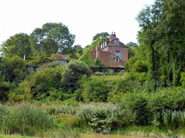
Image: © Robin Webster Taken: 20 Aug 2013
Viewed from the opposite bank of the Cuckmere River, whose brown tidal waters are just seen flooding in at the bottom of this view.
Images are licensed for reuse under creativecommons.org/licenses/by-sa/2.0
Image Location
Latitude
50.79939
Longitude
0.15301