Another closed pub, Sanders Lane
Introduction
The photograph on this page of Another closed pub, Sanders Lane by David Howard as part of the Geograph project.
The Geograph project started in 2005 with the aim of publishing, organising and preserving representative images for every square kilometre of Great Britain, Ireland and the Isle of Man.

There are currently over 7.5m images from over 14,400 individuals and you can help contribute to the project by visiting https://www.geograph.org.uk
Another closed pub, Sanders Lane
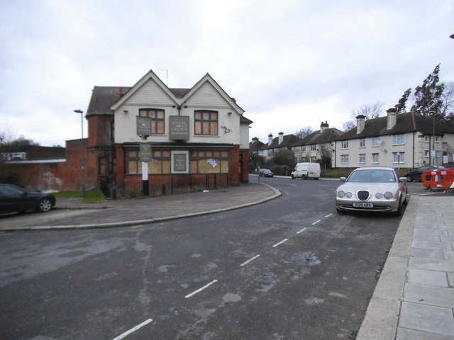
Image: © David Howard Taken: 18 Dec 2013
The Mill just along the road has already been demolished, while this once crowded pub is probably waiting for conversion.
Images are licensed for reuse under creativecommons.org/licenses/by-sa/2.0
Image Location
Latitude
51.609339
Longitude
-0.212123