Longtye Oast seen from the North Downs Way
Introduction
The photograph on this page of Longtye Oast seen from the North Downs Way by Marathon as part of the Geograph project.
The Geograph project started in 2005 with the aim of publishing, organising and preserving representative images for every square kilometre of Great Britain, Ireland and the Isle of Man.

There are currently over 7.5m images from over 14,400 individuals and you can help contribute to the project by visiting https://www.geograph.org.uk
Longtye Oast seen from the North Downs Way
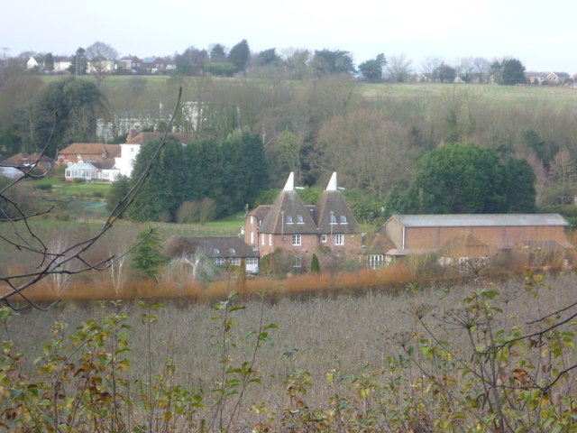
Image: © Marathon Taken: 14 Dec 2013
As the North Downs Way ascends to Golden Hill, there is this view down to Longtye Oast. For a close up see http://www.geograph.org.uk/photo/1501934 Harbledown is on the ridge behind.
Images are licensed for reuse under creativecommons.org/licenses/by-sa/2.0
Image Location
Latitude
51.281785
Longitude
1.051587