Bridleway by Kempton Reservoir
Introduction
The photograph on this page of Bridleway by Kempton Reservoir by Stefan Czapski as part of the Geograph project.
The Geograph project started in 2005 with the aim of publishing, organising and preserving representative images for every square kilometre of Great Britain, Ireland and the Isle of Man.

There are currently over 7.5m images from over 14,400 individuals and you can help contribute to the project by visiting https://www.geograph.org.uk
Bridleway by Kempton Reservoir
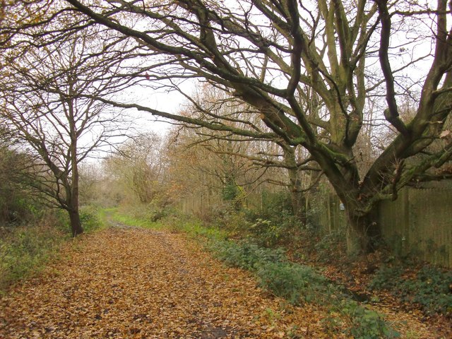
Image: © Stefan Czapski Taken: 14 Dec 2013
Unlikely though it may seem in this suburban area, no public motor road runs through this grid-square - though the A316 just grazes its north-west corner. The main public access to the area is by means of this bridleway, signposted off Nallhead Road, Hanworth. It is well-used by riders, and tends to get very muddy later in the winter season. Much of the grid-square is (or was until fairly recently) occupied by reservoirs and water-treatment works. The largest of the original basins - to the east of the bridleway - has now been landscaped and has become a nature reserve (managed by Thames Water). Though of a fair size, Kempton Park East was nonetheless much smaller than the later reservoirs further west - Queen Mary, King George VI and Staines, for instance. The south-west corner of the square falls within the Kempton Park Racecourse estate.
Images are licensed for reuse under creativecommons.org/licenses/by-sa/2.0
Image Location
Latitude
51.426403
Longitude
-0.396488