Knockdurn
Introduction
The photograph on this page of Knockdurn by Anne Burgess as part of the Geograph project.
The Geograph project started in 2005 with the aim of publishing, organising and preserving representative images for every square kilometre of Great Britain, Ireland and the Isle of Man.

There are currently over 7.5m images from over 14,400 individuals and you can help contribute to the project by visiting https://www.geograph.org.uk
Knockdurn
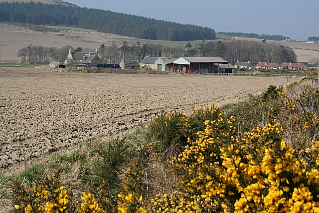
Image: © Anne Burgess Taken: 26 Mar 2007
The cottages to the right of the farm are by the back road to Fordyce via Damheads.
Images are licensed for reuse under creativecommons.org/licenses/by-sa/2.0
Image Location


Leaflet Map data © OpenStreetMap
Latitude
57.65577
Longitude
-2.700429