Griffin House, Griffin Street
Introduction
The photograph on this page of Griffin House, Griffin Street by John Baker as part of the Geograph project.
The Geograph project started in 2005 with the aim of publishing, organising and preserving representative images for every square kilometre of Great Britain, Ireland and the Isle of Man.

There are currently over 7.5m images from over 14,400 individuals and you can help contribute to the project by visiting https://www.geograph.org.uk
Griffin House, Griffin Street
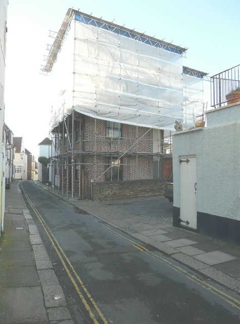
Image: © John Baker Taken: 10 Nov 2013
The construction of scaffolding and polythene sheeting above the house would seem to indicate that work was being undertaken on the roof and that the tiles had been removed.
Images are licensed for reuse under creativecommons.org/licenses/by-sa/2.0
Image Location
Latitude
51.228347
Longitude
1.403908