Stephens Alley, Tewkesbury
Introduction
The photograph on this page of Stephens Alley, Tewkesbury by Jaggery as part of the Geograph project.
The Geograph project started in 2005 with the aim of publishing, organising and preserving representative images for every square kilometre of Great Britain, Ireland and the Isle of Man.

There are currently over 7.5m images from over 14,400 individuals and you can help contribute to the project by visiting https://www.geograph.org.uk
Stephens Alley, Tewkesbury
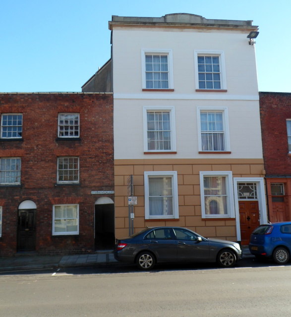
Image: © Jaggery Taken: 14 Oct 2012
There are many named alleys in the centre of Tewkesbury. This view is across High Street towards Stephens Alley. The nameplate is on the wall above the black door near the car.
Images are licensed for reuse under creativecommons.org/licenses/by-sa/2.0
Image Location
Latitude
51.996512
Longitude
-2.155362