Pwll y Glaw houses, Cwmavon
Introduction
The photograph on this page of Pwll y Glaw houses, Cwmavon by Jaggery as part of the Geograph project.
The Geograph project started in 2005 with the aim of publishing, organising and preserving representative images for every square kilometre of Great Britain, Ireland and the Isle of Man.

There are currently over 7.5m images from over 14,400 individuals and you can help contribute to the project by visiting https://www.geograph.org.uk
Pwll y Glaw houses, Cwmavon
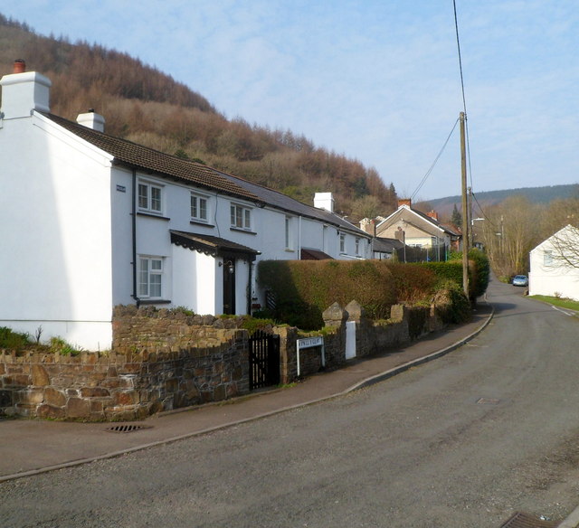
Image: © Jaggery Taken: 2 Mar 2012
The street name sign shows PWLL Y GLAW whereas the older nameplate at first floor level next to the drainpipe shows PWLLYGLAW.
Images are licensed for reuse under creativecommons.org/licenses/by-sa/2.0
Image Location
Latitude
51.625171
Longitude
-3.745206