Trafalgar Square
Introduction
The photograph on this page of Trafalgar Square by Christopher Hall as part of the Geograph project.
The Geograph project started in 2005 with the aim of publishing, organising and preserving representative images for every square kilometre of Great Britain, Ireland and the Isle of Man.

There are currently over 7.5m images from over 14,400 individuals and you can help contribute to the project by visiting https://www.geograph.org.uk
Trafalgar Square
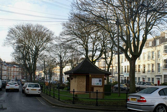
Image: © Christopher Hall Taken: 10 Dec 2013
The central gardens to Trafalgar Square have recently been restored and refurbished with new iron railings to the original design, the electricity sub station relocated to a new brick building designed to look like a park chalet, new planting and notice boards.
Images are licensed for reuse under creativecommons.org/licenses/by-sa/2.0
Image Location
Latitude
54.287672
Longitude
-0.403555