Hasland - former Methodist church
Introduction
The photograph on this page of Hasland - former Methodist church by Dave Bevis as part of the Geograph project.
The Geograph project started in 2005 with the aim of publishing, organising and preserving representative images for every square kilometre of Great Britain, Ireland and the Isle of Man.

There are currently over 7.5m images from over 14,400 individuals and you can help contribute to the project by visiting https://www.geograph.org.uk
Hasland - former Methodist church
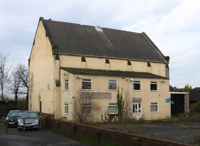
Image: © Dave Bevis Taken: 15 Dec 2013
This building on The Green would appear to be the former Wesleyan Methodist church. For information on all three of the Methodist churches that existed in Hasland, please see http://www.chesterfieldmethodists.org.uk/hasland/ .
Images are licensed for reuse under creativecommons.org/licenses/by-sa/2.0
Image Location
Latitude
53.219917
Longitude
-1.40913