Lane to Hele
Introduction
The photograph on this page of Lane to Hele by Derek Harper as part of the Geograph project.
The Geograph project started in 2005 with the aim of publishing, organising and preserving representative images for every square kilometre of Great Britain, Ireland and the Isle of Man.

There are currently over 7.5m images from over 14,400 individuals and you can help contribute to the project by visiting https://www.geograph.org.uk
Lane to Hele
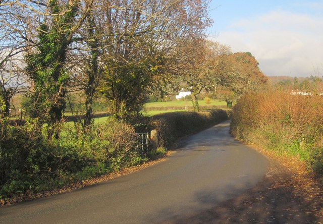
Image: © Derek Harper Taken: 9 Dec 2013
From the point where the green lane carrying Ashburton Bridleway 7 joins it. It quickly crosses into Image
Images are licensed for reuse under creativecommons.org/licenses/by-sa/2.0
Image Location
Latitude
50.516154
Longitude
-3.768997