Robert Beck near Copgrove
Introduction
The photograph on this page of Robert Beck near Copgrove by Gordon Hatton as part of the Geograph project.
The Geograph project started in 2005 with the aim of publishing, organising and preserving representative images for every square kilometre of Great Britain, Ireland and the Isle of Man.

There are currently over 7.5m images from over 14,400 individuals and you can help contribute to the project by visiting https://www.geograph.org.uk
Robert Beck near Copgrove
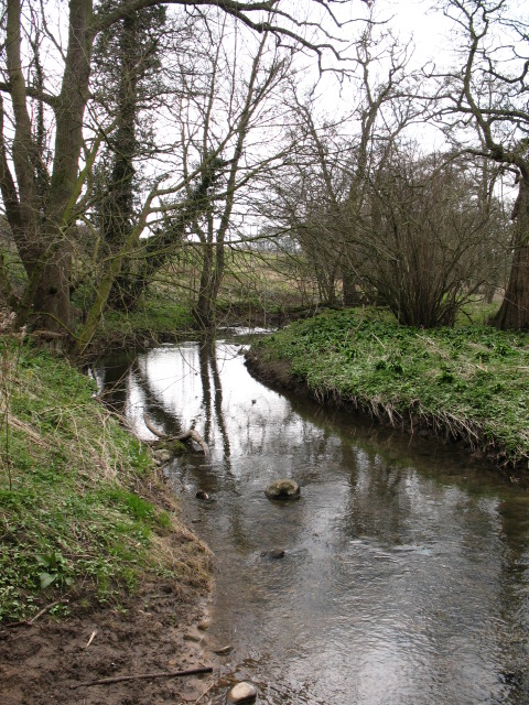
Image: © Gordon Hatton Taken: 24 Mar 2007
This little beck has at least five different names along its route from the edge of the moors near Warsill to its confluence with the Ure opposite Newby Hall. Its winding and erratic course has been influenced by glaciers and their overflow channels.
Images are licensed for reuse under creativecommons.org/licenses/by-sa/2.0
Image Location
Latitude
54.060323
Longitude
-1.486799