Site of former Maesycrugiau station, 2004
Introduction
The photograph on this page of Site of former Maesycrugiau station, 2004 by Ben Brooksbank as part of the Geograph project.
The Geograph project started in 2005 with the aim of publishing, organising and preserving representative images for every square kilometre of Great Britain, Ireland and the Isle of Man.

There are currently over 7.5m images from over 14,400 individuals and you can help contribute to the project by visiting https://www.geograph.org.uk
Site of former Maesycrugiau station, 2004
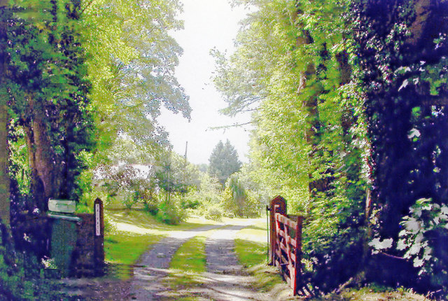
Image: © Ben Brooksbank Taken: 25 Jun 2004
View southward near the village, towards Carmarthen on the track-bed of the ex-GWR Carmarthen - Aberystwyth line. The station was closed to passengers when the through service ceased 22/2/65, but goods continued until 9/9/65 and the line remained in place until 3/9/73 for the milk traffic all the way Carmarthen - Lampeter and onto the Aberayron branch as far as Felin Fach.
Images are licensed for reuse under creativecommons.org/licenses/by-sa/2.0
Image Location
Latitude
52.042895
Longitude
-4.227483