Pond to the east of Pit Lane
Introduction
The photograph on this page of Pond to the east of Pit Lane by Christine Johnstone as part of the Geograph project.
The Geograph project started in 2005 with the aim of publishing, organising and preserving representative images for every square kilometre of Great Britain, Ireland and the Isle of Man.

There are currently over 7.5m images from over 14,400 individuals and you can help contribute to the project by visiting https://www.geograph.org.uk
Pond to the east of Pit Lane
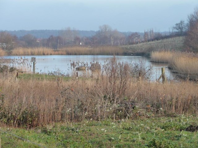
Image: © Christine Johnstone Taken: 11 Dec 2013
With a former colliery to the west and a working quarry to the south, this probably has something to do with draining post-industrial sites.
Images are licensed for reuse under creativecommons.org/licenses/by-sa/2.0
Image Location
Latitude
53.786351
Longitude
-1.335788