Parkside Court, Brislington, Bristol
Introduction
The photograph on this page of Parkside Court, Brislington, Bristol by Jaggery as part of the Geograph project.
The Geograph project started in 2005 with the aim of publishing, organising and preserving representative images for every square kilometre of Great Britain, Ireland and the Isle of Man.

There are currently over 7.5m images from over 14,400 individuals and you can help contribute to the project by visiting https://www.geograph.org.uk
Parkside Court, Brislington, Bristol
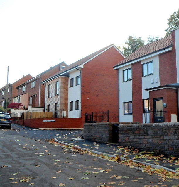
Image: © Jaggery Taken: 5 Nov 2012
Flats at the northern end of Runswick Road, viewed from the corner of King's Road at the southern edge of Arnos Court Park.
Images are licensed for reuse under creativecommons.org/licenses/by-sa/2.0
Image Location
Latitude
51.438627
Longitude
-2.561759