Road to Kings Nympton from Beara Cross
Introduction
The photograph on this page of Road to Kings Nympton from Beara Cross by David Smith as part of the Geograph project.
The Geograph project started in 2005 with the aim of publishing, organising and preserving representative images for every square kilometre of Great Britain, Ireland and the Isle of Man.

There are currently over 7.5m images from over 14,400 individuals and you can help contribute to the project by visiting https://www.geograph.org.uk
Road to Kings Nympton from Beara Cross
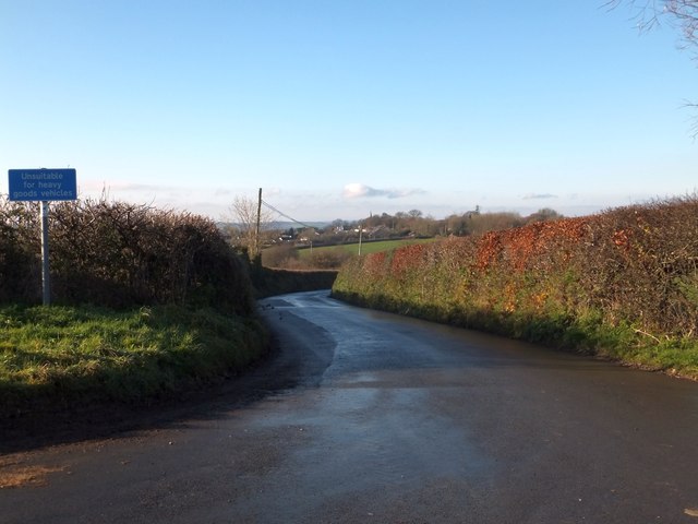
Image: © David Smith Taken: 9 Dec 2013
Part of the village is visible. The road drops slightly on its way to the houses on the nearer edge
Images are licensed for reuse under creativecommons.org/licenses/by-sa/2.0
Image Location
Latitude
50.958025
Longitude
-3.865897