East Loxley, 44 Salisbury Road
Introduction
The photograph on this page of East Loxley, 44 Salisbury Road by John Baker as part of the Geograph project.
The Geograph project started in 2005 with the aim of publishing, organising and preserving representative images for every square kilometre of Great Britain, Ireland and the Isle of Man.

There are currently over 7.5m images from over 14,400 individuals and you can help contribute to the project by visiting https://www.geograph.org.uk
East Loxley, 44 Salisbury Road
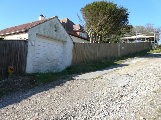
Image: © John Baker Taken: 10 Nov 2013
Planning permission has been granted by Dover District Council under application number DOV/12/00494 for the “erection of side and rear extensions and a detached garage, together with construction of a vehicular access and 2m boundary fence (existing conservatory, lean-to and side extensions to be demolished)”. This view, from Victoria Avenue, shows the garage under construction with the house to its left.
Images are licensed for reuse under creativecommons.org/licenses/by-sa/2.0
Image Location
Latitude
51.154095
Longitude
1.386708