Elm Avenue, Pennington
Introduction
The photograph on this page of Elm Avenue, Pennington by mike smith as part of the Geograph project.
The Geograph project started in 2005 with the aim of publishing, organising and preserving representative images for every square kilometre of Great Britain, Ireland and the Isle of Man.

There are currently over 7.5m images from over 14,400 individuals and you can help contribute to the project by visiting https://www.geograph.org.uk
Elm Avenue, Pennington
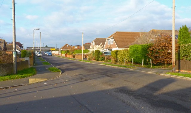
Image: © mike smith Taken: 10 Dec 2013
This is modern Pennington, to the south of the main A337 road. The original village is to the north of the main road.
Images are licensed for reuse under creativecommons.org/licenses/by-sa/2.0
Image Location
Latitude
50.748268
Longitude
-1.556011