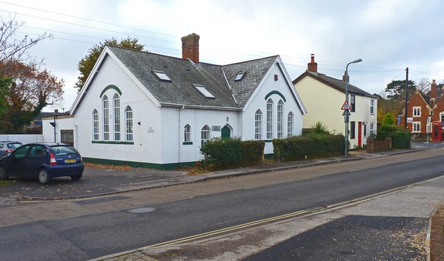
The IRC House, Pennington
Introduction
The photograph on this page of The IRC House, Pennington by mike smith as part of the Geograph project.
The Geograph project started in 2005 with the aim of publishing, organising and preserving representative images for every square kilometre of Great Britain, Ireland and the Isle of Man.
There are currently over 7.5m images from over 14,400 individuals and you can help contribute to the project by visiting https://www.geograph.org.uk

Image: © mike smith Taken: 10 Dec 2013
This building, now offices, would appear to be a former chapel. Update July 2019 - a site visitor writes: "This is a former school, built in the late 1800's as extra classrooms for the main school built in 1852, the red faced building with white surround windows that is some 100 mtrs further up the road in the village square (although the school boundary is actually triangular. I know as I went to both as a child (1955-1959)."

