Clark Street
Introduction
The photograph on this page of Clark Street by Christopher Hall as part of the Geograph project.
The Geograph project started in 2005 with the aim of publishing, organising and preserving representative images for every square kilometre of Great Britain, Ireland and the Isle of Man.

There are currently over 7.5m images from over 14,400 individuals and you can help contribute to the project by visiting https://www.geograph.org.uk
Clark Street
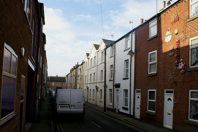
Image: © Christopher Hall Taken: 10 Dec 2013
Looking down Clark Street which is a street of tightly built working class houses of about 1850-1860. The building on the right is The Free Dwellings built 1852 (but still 'Georgian' in style) and renovated in 1978. Lower Clark Street terminates at the bottom of the street with social housing built in 1986.
Images are licensed for reuse under creativecommons.org/licenses/by-sa/2.0
Image Location
Latitude
54.286573
Longitude
-0.402061