The Northern end of Haselor Lane
Introduction
The photograph on this page of The Northern end of Haselor Lane by David Luther Thomas as part of the Geograph project.
The Geograph project started in 2005 with the aim of publishing, organising and preserving representative images for every square kilometre of Great Britain, Ireland and the Isle of Man.

There are currently over 7.5m images from over 14,400 individuals and you can help contribute to the project by visiting https://www.geograph.org.uk
The Northern end of Haselor Lane
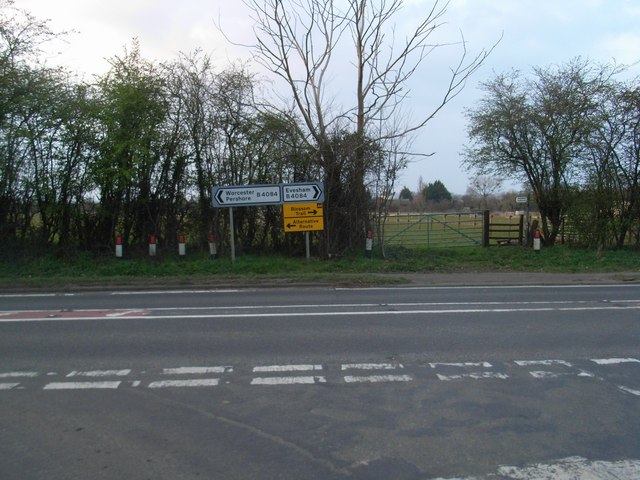
Image: © David Luther Thomas Taken: 25 Mar 2007
The junction with the B4084 (previously the A44). One of several "alternative routes" to the blossom trail starts at this junction. A footpath leads straight on towards Boston Farm and on to Charlton.
Images are licensed for reuse under creativecommons.org/licenses/by-sa/2.0
Image Location


Leaflet Map data © OpenStreetMap
Latitude
52.090746
Longitude
-1.983899