Shire Hall: the 20th-century frontage to Market Place
Introduction
The photograph on this page of Shire Hall: the 20th-century frontage to Market Place by Robin Stott as part of the Geograph project.
The Geograph project started in 2005 with the aim of publishing, organising and preserving representative images for every square kilometre of Great Britain, Ireland and the Isle of Man.

There are currently over 7.5m images from over 14,400 individuals and you can help contribute to the project by visiting https://www.geograph.org.uk
Shire Hall: the 20th-century frontage to Market Place
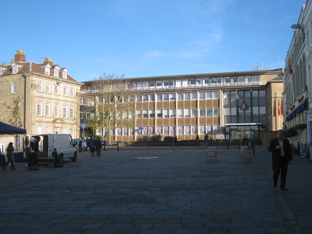
Image: © Robin Stott Taken: 13 Nov 2013
The paved Market Place provides a venue for a weekly Saturday market, and for the Mop and the Runaway Mop (fairs) in the autumn. At other times it looks a bit empty, hard and dull. The ground floor of Shire Hall now houses Warwick Library, a Post Office, and enquiries about council services.
Images are licensed for reuse under creativecommons.org/licenses/by-sa/2.0
Image Location
Latitude
52.282522
Longitude
-1.590248