
Aylesbury: Pond by Bear Brook
Introduction
The photograph on this page of Aylesbury: Pond by Bear Brook by Nigel Cox as part of the Geograph project.
The Geograph project started in 2005 with the aim of publishing, organising and preserving representative images for every square kilometre of Great Britain, Ireland and the Isle of Man.

There are currently over 7.5m images from over 14,400 individuals and you can help contribute to the project by visiting https://www.geograph.org.uk
Aylesbury: Pond by Bear Brook
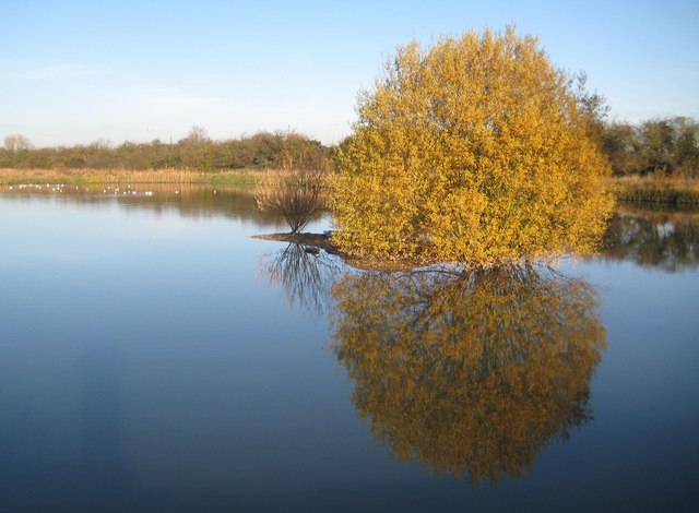
Image: © Nigel Cox Taken: 1 Dec 2013
When the Aylesbury Flood Alleviation Scheme was being planned and built an existing low-lying area near the prone to flood Bear Brook was excavated to make this pond. The small island in the middle seen here was designed as a refuge for roosting birds. The boundary between the Civil Parishes of Aylesbury, to the left, and Bierton with Broughton, to the right, runs more or less down the middle of the pond.
Images are licensed for reuse under creativecommons.org/licenses/by-sa/2.0
Image Location

Latitude
51.817854
Longitude
-0.780738