Winterley Cobba
Introduction
The photograph on this page of Winterley Cobba by Rude Health as part of the Geograph project.
The Geograph project started in 2005 with the aim of publishing, organising and preserving representative images for every square kilometre of Great Britain, Ireland and the Isle of Man.

There are currently over 7.5m images from over 14,400 individuals and you can help contribute to the project by visiting https://www.geograph.org.uk
Winterley Cobba
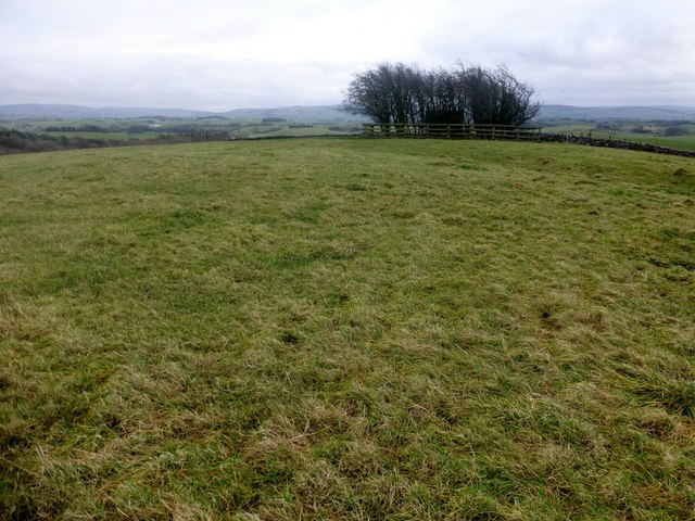
Image: © Rude Health Taken: 9 Dec 2013
Parked in Coniston Cold and walked up to Pot Haw Farm with easy access to the summit through fields with a course set out for horses. Then through similar fields to bag Winterley Cobba. Then joined the bridleway below Stainton Cotes to get back to Coniston Cold. A lovely area to explore even with Martin Richardson. Name: Winterley Cobba Hill number: 108476 Height: 220m / 722ft Area: 36: Lancashire, Cheshire & the Southern Pennines Class: 2 Grid ref: SD887541 (est) Drop: 37m Col: 183m SD887543
Images are licensed for reuse under creativecommons.org/licenses/by-sa/2.0
Image Location
Latitude
53.982921
Longitude
-2.172277