The course of the Nail Bourne in Barham
Introduction
The photograph on this page of The course of the Nail Bourne in Barham by Marathon as part of the Geograph project.
The Geograph project started in 2005 with the aim of publishing, organising and preserving representative images for every square kilometre of Great Britain, Ireland and the Isle of Man.

There are currently over 7.5m images from over 14,400 individuals and you can help contribute to the project by visiting https://www.geograph.org.uk
The course of the Nail Bourne in Barham
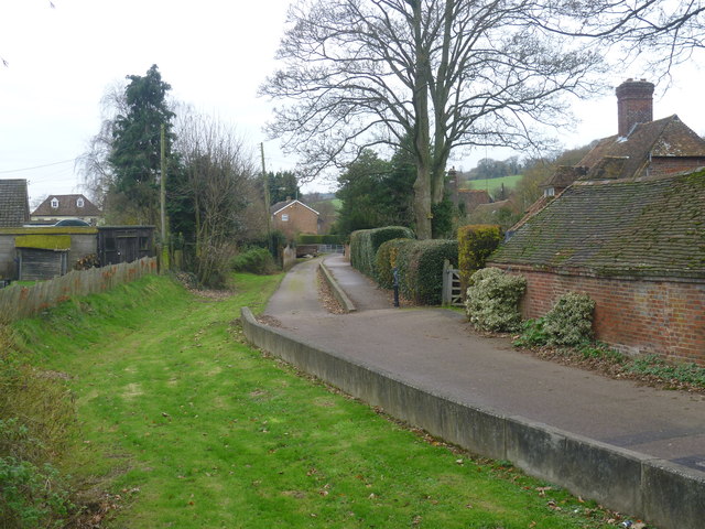
Image: © Marathon Taken: 7 Dec 2013
The Nail Bourne flows from Lyminge, through the Elham Valley until it becomes known as the Little Stour at Littlebourne. Whilst the stream often holds a plentiful supply of water from Lyminge to Elham throughout the year, it rarely holds any water from Elham to Bishopsbourne even in the winter months, as can be seen here. This is the view from Valley Road with The Causeway to the right. The Little Stour then joins with the Great Stour at Plucks Gutter near West Stourmouth. A map of the Nail Bourne and more information about it can be seen at http://en.wikipedia.org/wiki/Little_Stour
Images are licensed for reuse under creativecommons.org/licenses/by-sa/2.0
Image Location
Latitude
51.202098
Longitude
1.156417