Castle Rock and St John's Beck
Introduction
The photograph on this page of Castle Rock and St John's Beck by Oliver Dixon as part of the Geograph project.
The Geograph project started in 2005 with the aim of publishing, organising and preserving representative images for every square kilometre of Great Britain, Ireland and the Isle of Man.

There are currently over 7.5m images from over 14,400 individuals and you can help contribute to the project by visiting https://www.geograph.org.uk
Castle Rock and St John's Beck
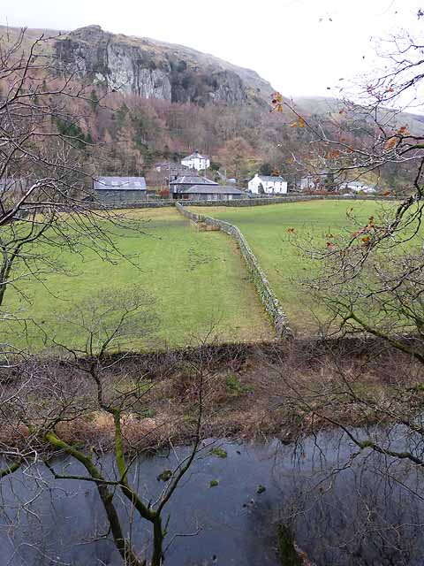
Image: © Oliver Dixon Taken: 8 Dec 2013
Looking across the valley of the St John's Beck to Green and the sawmill. Mill Plantation and the impressive crags of Castle Rock rise beyond.
Images are licensed for reuse under creativecommons.org/licenses/by-sa/2.0
Image Location
Latitude
54.568538
Longitude
-3.055898