Hen adeilad Bon Marche - Former Bon Marche building
Introduction
The photograph on this page of Hen adeilad Bon Marche - Former Bon Marche building by Alan Fryer as part of the Geograph project.
The Geograph project started in 2005 with the aim of publishing, organising and preserving representative images for every square kilometre of Great Britain, Ireland and the Isle of Man.

There are currently over 7.5m images from over 14,400 individuals and you can help contribute to the project by visiting https://www.geograph.org.uk
Hen adeilad Bon Marche - Former Bon Marche building
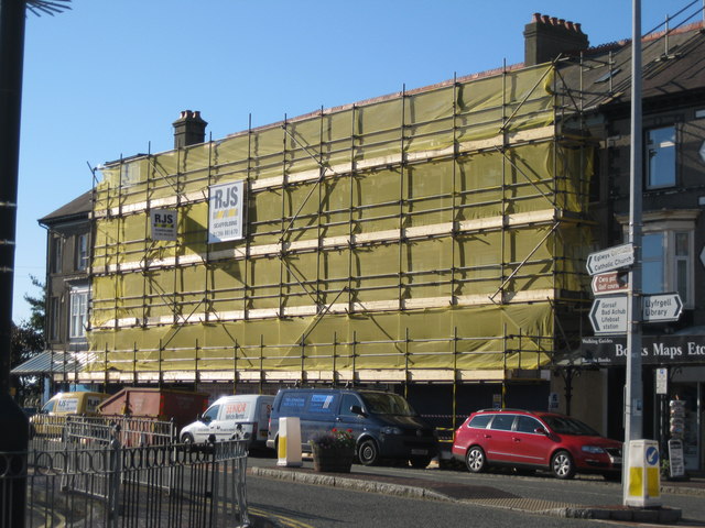
Image: © Alan Fryer Taken: 15 Oct 2013
Image undergoing transformation into a J D Wetherspoon pub and restaurant
Images are licensed for reuse under creativecommons.org/licenses/by-sa/2.0
Image Location


Leaflet Map data © OpenStreetMap
Latitude
52.887725
Longitude
-4.417583