How Caple edge of Westons Cider Mill, Much Marcle
Introduction
The photograph on this page of How Caple edge of Westons Cider Mill, Much Marcle by Jaggery as part of the Geograph project.
The Geograph project started in 2005 with the aim of publishing, organising and preserving representative images for every square kilometre of Great Britain, Ireland and the Isle of Man.

There are currently over 7.5m images from over 14,400 individuals and you can help contribute to the project by visiting https://www.geograph.org.uk
How Caple edge of Westons Cider Mill, Much Marcle
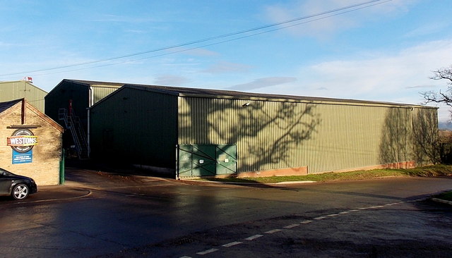
Image: © Jaggery Taken: 8 Dec 2013
Viewed across the road named How Caple from the edge of Westons coach and car park. http://www.geograph.org.uk/photo/3771821
Images are licensed for reuse under creativecommons.org/licenses/by-sa/2.0
Image Location
Latitude
51.994783
Longitude
-2.511894