Footpath towards Hawthorne Farm
Introduction
The photograph on this page of Footpath towards Hawthorne Farm by Richard Law as part of the Geograph project.
The Geograph project started in 2005 with the aim of publishing, organising and preserving representative images for every square kilometre of Great Britain, Ireland and the Isle of Man.

There are currently over 7.5m images from over 14,400 individuals and you can help contribute to the project by visiting https://www.geograph.org.uk
Footpath towards Hawthorne Farm
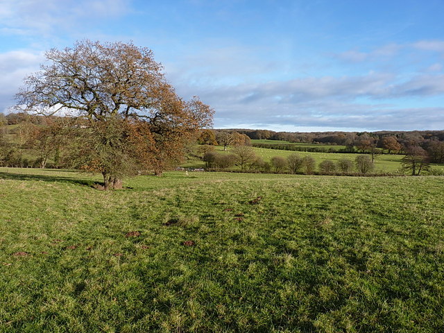
Image: © Richard Law Taken: 7 Dec 2013
A row of old oak trees and a ditch mark the line of a former hedge, now followed by a path from Muckley Cross to Hawthorne Farm.
Images are licensed for reuse under creativecommons.org/licenses/by-sa/2.0
Image Location
Latitude
52.562406
Longitude
-2.518185