The Pennine Bridleway near Hollingworth Nature Reserve
Introduction
The photograph on this page of The Pennine Bridleway near Hollingworth Nature Reserve by Jonathan Clitheroe as part of the Geograph project.
The Geograph project started in 2005 with the aim of publishing, organising and preserving representative images for every square kilometre of Great Britain, Ireland and the Isle of Man.

There are currently over 7.5m images from over 14,400 individuals and you can help contribute to the project by visiting https://www.geograph.org.uk
The Pennine Bridleway near Hollingworth Nature Reserve
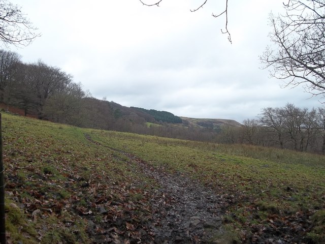
Image: © Jonathan Clitheroe Taken: 7 Dec 2013
Also known as the Tameside Trail and seen here heading north over boggy terrain.
Images are licensed for reuse under creativecommons.org/licenses/by-sa/2.0
Image Location
Latitude
53.473062
Longitude
-1.99047