Track leading to water works
Introduction
The photograph on this page of Track leading to water works by Stefan Czapski as part of the Geograph project.
The Geograph project started in 2005 with the aim of publishing, organising and preserving representative images for every square kilometre of Great Britain, Ireland and the Isle of Man.

There are currently over 7.5m images from over 14,400 individuals and you can help contribute to the project by visiting https://www.geograph.org.uk
Track leading to water works
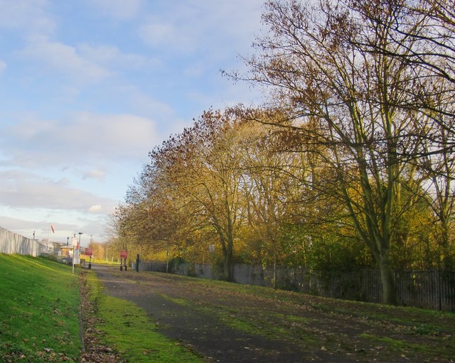
Image: © Stefan Czapski Taken: 6 Dec 2013
Part of this grid-square is occupied by the eastern side of Queen Mary Reservoir, while much of the rest falls within the boundary of Ashford Common Advanced Water Treatment Works. The track shown here gives access to the works from the west - from Charlton Road - though the lack of tarmac would suggest that it is not often used. There is no routine public access, and this shot was taken through the bars of a gate. Satellite imagery shows that the area to the left (north) of the track is occupied by filter beds.
Images are licensed for reuse under creativecommons.org/licenses/by-sa/2.0
Image Location
Latitude
51.415124
Longitude
-0.440312