Sea defences behind Humberston Fitties, after the tidal surge
Introduction
The photograph on this page of Sea defences behind Humberston Fitties, after the tidal surge by Chris as part of the Geograph project.
The Geograph project started in 2005 with the aim of publishing, organising and preserving representative images for every square kilometre of Great Britain, Ireland and the Isle of Man.

There are currently over 7.5m images from over 14,400 individuals and you can help contribute to the project by visiting https://www.geograph.org.uk
Sea defences behind Humberston Fitties, after the tidal surge
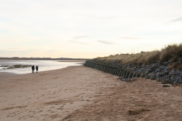
Image: © Chris Taken: 7 Dec 2013
The biggest tidal surge for 60 years swept through two days ago, but these sea defences have stood fast.
Images are licensed for reuse under creativecommons.org/licenses/by-sa/2.0
Image Location
Latitude
53.526436
Longitude
0.016807