Capel Sul, Kidwelly
Introduction
The photograph on this page of Capel Sul, Kidwelly by Jaggery as part of the Geograph project.
The Geograph project started in 2005 with the aim of publishing, organising and preserving representative images for every square kilometre of Great Britain, Ireland and the Isle of Man.

There are currently over 7.5m images from over 14,400 individuals and you can help contribute to the project by visiting https://www.geograph.org.uk
Capel Sul, Kidwelly
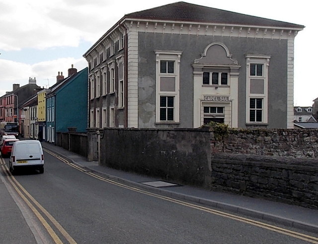
Image: © Jaggery Taken: 29 Mar 2013
Bridge Street chapel on the south bank of the Gwendraeth Fach river. Built in 1862 as Rumsey House, converted to a chapel in the 1920s.
Images are licensed for reuse under creativecommons.org/licenses/by-sa/2.0
Image Location


Leaflet Map data © OpenStreetMap
Latitude
51.737293
Longitude
-4.308591