Minster on Sea: Ripney Hill Farm
Introduction
The photograph on this page of Minster on Sea: Ripney Hill Farm by Nigel Cox as part of the Geograph project.
The Geograph project started in 2005 with the aim of publishing, organising and preserving representative images for every square kilometre of Great Britain, Ireland and the Isle of Man.

There are currently over 7.5m images from over 14,400 individuals and you can help contribute to the project by visiting https://www.geograph.org.uk
Minster on Sea: Ripney Hill Farm
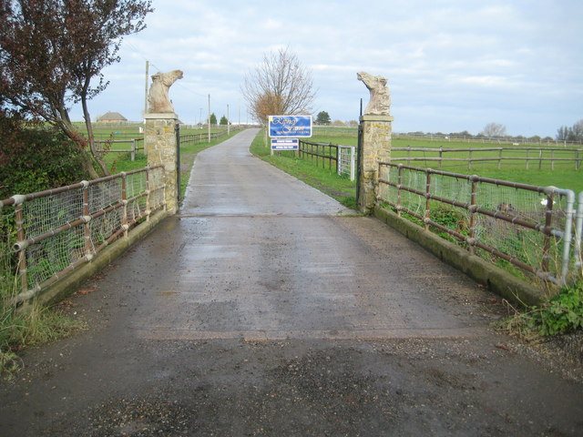
Image: © Nigel Cox Taken: 24 Nov 2013
There has been a farm on Ripney Hill since long before the residential development of Minster started. The horses' heads on the gate pillars indicate one of its current functions as an equestrian centre. This is the view from the northern end of Marian Avenue.
Images are licensed for reuse under creativecommons.org/licenses/by-sa/2.0
Image Location
Latitude
51.424536
Longitude
0.791633