The trackbed of the former Brampton branch railway (2)
Introduction
The photograph on this page of The trackbed of the former Brampton branch railway (2) by Mike Quinn as part of the Geograph project.
The Geograph project started in 2005 with the aim of publishing, organising and preserving representative images for every square kilometre of Great Britain, Ireland and the Isle of Man.

There are currently over 7.5m images from over 14,400 individuals and you can help contribute to the project by visiting https://www.geograph.org.uk
The trackbed of the former Brampton branch railway (2)
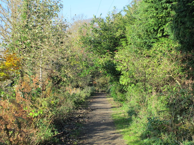
Image: © Mike Quinn Taken: 14 Nov 2013
South of the former bridge over Station Road - see Image Now a footpath between Brampton and Brampton station on the Newcastle to Carlisle line. The line of the former railway is clearly visible on the satellite image https://maps.google.co.uk/maps?q=Brampton,+Cumbria&hl=en&ll=54.93735,-2.713966&spn=0.017184,0.036135&sll=57.746995,-4.687341&sspn=8.181124,18.500977&oq=brampton+cum&t=h&hnear=Brampton,+Cumbria,+United+Kingdom&z=15 running southeast from the eastern edge of the town, under the A69, and alongside Rowbank Wood before curving east to the current Brampton station.
Images are licensed for reuse under creativecommons.org/licenses/by-sa/2.0
Image Location
Latitude
54.941871
Longitude
-2.722547