Cycle route on old railway
Introduction
The photograph on this page of Cycle route on old railway by Oliver Dixon as part of the Geograph project.
The Geograph project started in 2005 with the aim of publishing, organising and preserving representative images for every square kilometre of Great Britain, Ireland and the Isle of Man.

There are currently over 7.5m images from over 14,400 individuals and you can help contribute to the project by visiting https://www.geograph.org.uk
Cycle route on old railway
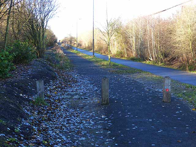
Image: © Oliver Dixon Taken: 4 Dec 2013
National Cycle Route 10, part of the Reiver's Cycle Route follows the line of the old Blyth and Tyne Railway and Seaton Burn Waggonway. A soft surface path alongside has been provided for horses.
Images are licensed for reuse under creativecommons.org/licenses/by-sa/2.0
Image Location
Latitude
55.018469
Longitude
-1.497786