Peasholm Glen Bridge
Introduction
The photograph on this page of Peasholm Glen Bridge by Christopher Hall as part of the Geograph project.
The Geograph project started in 2005 with the aim of publishing, organising and preserving representative images for every square kilometre of Great Britain, Ireland and the Isle of Man.

There are currently over 7.5m images from over 14,400 individuals and you can help contribute to the project by visiting https://www.geograph.org.uk
Peasholm Glen Bridge
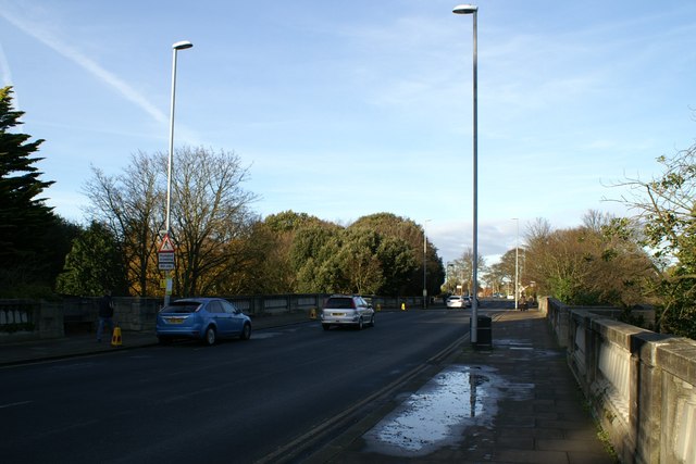
Image: © Christopher Hall Taken: 1 Dec 2013
Peasholm Glen Bridge crosses Peasholm Beck which here is in quite a deep ravine known as Peasholm Glen, a public park. Peasholm Beck was the medieval northern boundary of Scarborough town. The building of the bridge facilitated the expansion of the town to the north such as the development of the Northstead Estate. The bridge was opened in 1932, the design engineers were Mouchel & Partners, the Borough Engineers Harry W. Smith and the architectural design by George W. Alderson.
Images are licensed for reuse under creativecommons.org/licenses/by-sa/2.0
Image Location
Latitude
54.286768
Longitude
-0.416802