Remains of North Gosforth Chapel
Introduction
The photograph on this page of Remains of North Gosforth Chapel by Oliver Dixon as part of the Geograph project.
The Geograph project started in 2005 with the aim of publishing, organising and preserving representative images for every square kilometre of Great Britain, Ireland and the Isle of Man.

There are currently over 7.5m images from over 14,400 individuals and you can help contribute to the project by visiting https://www.geograph.org.uk
Remains of North Gosforth Chapel
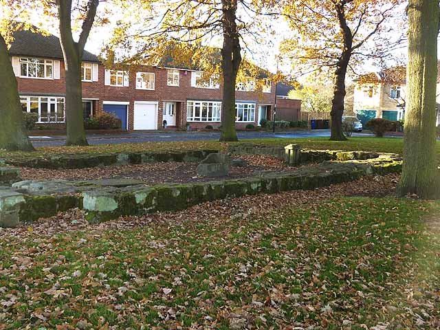
Image: © Oliver Dixon Taken: 4 Dec 2013
Dating back to late Norman or early Medieval times, the chapel was destroyed by fire in 1690. The remains were uncovered when the housing estate was built in the 1950s.
Images are licensed for reuse under creativecommons.org/licenses/by-sa/2.0
Image Location
Latitude
55.024832
Longitude
-1.616586