Road junction near East Glasdon
Introduction
The photograph on this page of Road junction near East Glasdon by Derek Harper as part of the Geograph project.
The Geograph project started in 2005 with the aim of publishing, organising and preserving representative images for every square kilometre of Great Britain, Ireland and the Isle of Man.

There are currently over 7.5m images from over 14,400 individuals and you can help contribute to the project by visiting https://www.geograph.org.uk
Road junction near East Glasdon
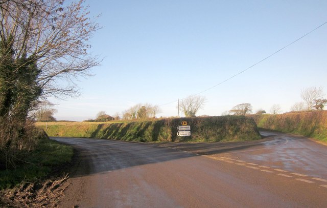
Image: © Derek Harper Taken: 30 Nov 2013
A reverse view of Image], which, like Image] (which look along the road to the left) was taken from beside the road sign. On the right is the lane to Trerulefoot, shown in Image
Images are licensed for reuse under creativecommons.org/licenses/by-sa/2.0
Image Location
Latitude
50.402394
Longitude
-4.33413