Farmland west of St Germans
Introduction
The photograph on this page of Farmland west of St Germans by Derek Harper as part of the Geograph project.
The Geograph project started in 2005 with the aim of publishing, organising and preserving representative images for every square kilometre of Great Britain, Ireland and the Isle of Man.

There are currently over 7.5m images from over 14,400 individuals and you can help contribute to the project by visiting https://www.geograph.org.uk
Farmland west of St Germans
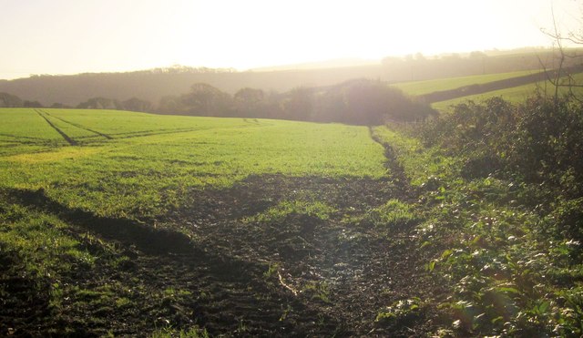
Image: © Derek Harper Taken: 30 Nov 2013
From the gate on the right of Image], looking directly towards the sun, with interesting effects on the light and colour. The line of trees ahead is close to the source of a stream that runs down to St Germans to join the Tiddy.
Images are licensed for reuse under creativecommons.org/licenses/by-sa/2.0
Image Location
Latitude
50.401344
Longitude
-4.332671