Cottage, Trerulefoot
Introduction
The photograph on this page of Cottage, Trerulefoot by Derek Harper as part of the Geograph project.
The Geograph project started in 2005 with the aim of publishing, organising and preserving representative images for every square kilometre of Great Britain, Ireland and the Isle of Man.

There are currently over 7.5m images from over 14,400 individuals and you can help contribute to the project by visiting https://www.geograph.org.uk
Cottage, Trerulefoot
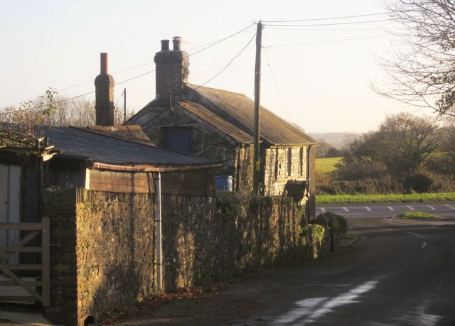
Image: © Derek Harper Taken: 30 Nov 2013
The slate-hung Trerule Farm Cottage is shown from the other direction in Image Beyond, the lane meets the A374.
Images are licensed for reuse under creativecommons.org/licenses/by-sa/2.0
Image Location
Latitude
50.405854
Longitude
-4.349922