View to Sugar Loaf and Black Mountains
Introduction
The photograph on this page of View to Sugar Loaf and Black Mountains by Philip Halling as part of the Geograph project.
The Geograph project started in 2005 with the aim of publishing, organising and preserving representative images for every square kilometre of Great Britain, Ireland and the Isle of Man.

There are currently over 7.5m images from over 14,400 individuals and you can help contribute to the project by visiting https://www.geograph.org.uk
View to Sugar Loaf and Black Mountains
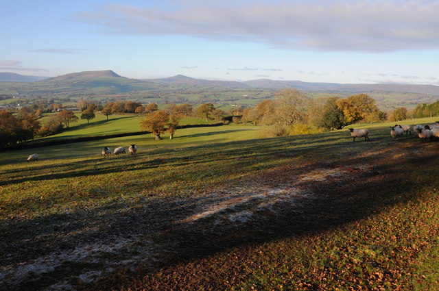
Image: © Philip Halling Taken: 23 Nov 2013
View, in the morning sun, to Sugar Loaf and Black Mountains from the Three Castles Walk from near Grosmont Wood Farm. From left to right is Ysgyryd Fawr (Skirrid), Sugar Loaf and the main range of the Black Mountains. When driving over to the Black Mountains, I normally take the road from Cross Ash to Llanvihangel Crucorney which provides wonderful views ahead to the Black Mountains. The road follows a ridge of high ground which also offers good views to the north over Herefordshire and to the south over Monmouthshire. For a similar view at the end of the day see: Image]
Images are licensed for reuse under creativecommons.org/licenses/by-sa/2.0
Image Location
Latitude
51.880931
Longitude
-2.880914