Signs at Tweedbank Industrial Estate
Introduction
The photograph on this page of Signs at Tweedbank Industrial Estate by Jim Barton as part of the Geograph project.
The Geograph project started in 2005 with the aim of publishing, organising and preserving representative images for every square kilometre of Great Britain, Ireland and the Isle of Man.

There are currently over 7.5m images from over 14,400 individuals and you can help contribute to the project by visiting https://www.geograph.org.uk
Signs at Tweedbank Industrial Estate
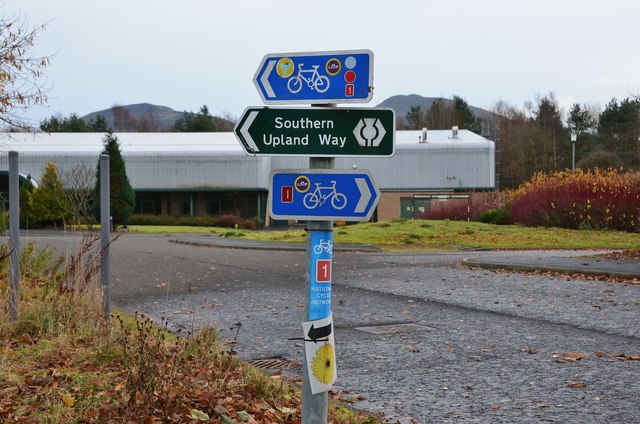
Image: © Jim Barton Taken: 3 Dec 2013
Route signs for path and cycleway where the S Upland Way heads left down to the Tweed.
Images are licensed for reuse under creativecommons.org/licenses/by-sa/2.0
Image Location
Latitude
55.603606
Longitude
-2.75149