B3165 near Monkton Wyld Cross
Introduction
The photograph on this page of B3165 near Monkton Wyld Cross by Derek Harper as part of the Geograph project.
The Geograph project started in 2005 with the aim of publishing, organising and preserving representative images for every square kilometre of Great Britain, Ireland and the Isle of Man.

There are currently over 7.5m images from over 14,400 individuals and you can help contribute to the project by visiting https://www.geograph.org.uk
B3165 near Monkton Wyld Cross
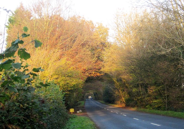
Image: © Derek Harper Taken: 23 Nov 2013
The road to Crewkerne runs along the county boundary between Devon (left) and Dorset.
Images are licensed for reuse under creativecommons.org/licenses/by-sa/2.0
Image Location
Latitude
50.769684
Longitude
-2.952048