Field by Wareham Road
Introduction
The photograph on this page of Field by Wareham Road by Derek Harper as part of the Geograph project.
The Geograph project started in 2005 with the aim of publishing, organising and preserving representative images for every square kilometre of Great Britain, Ireland and the Isle of Man.

There are currently over 7.5m images from over 14,400 individuals and you can help contribute to the project by visiting https://www.geograph.org.uk
Field by Wareham Road
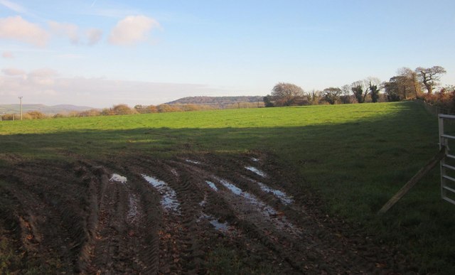
Image: © Derek Harper Taken: 23 Nov 2013
A view from the layby shown in Image In the distance is the wooded Lambert's Castle, above the greensand scarp slope.
Images are licensed for reuse under creativecommons.org/licenses/by-sa/2.0
Image Location
Latitude
50.789586
Longitude
-2.926348