Road to former RAF Blyton airfield
Introduction
The photograph on this page of Road to former RAF Blyton airfield by J.Hannan-Briggs as part of the Geograph project.
The Geograph project started in 2005 with the aim of publishing, organising and preserving representative images for every square kilometre of Great Britain, Ireland and the Isle of Man.

There are currently over 7.5m images from over 14,400 individuals and you can help contribute to the project by visiting https://www.geograph.org.uk
Road to former RAF Blyton airfield
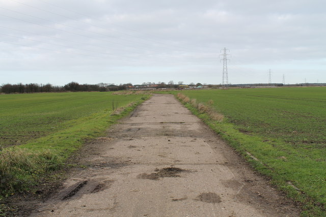
Image: © J.Hannan-Briggs Taken: 30 Nov 2013
Built in 1942 and used until 1954. Home to 199 Squadron flying Wellingtons, and later 1662 Squadron flying Lancasters, amongst others.
Images are licensed for reuse under creativecommons.org/licenses/by-sa/2.0
Image Location
Latitude
53.446422
Longitude
-0.70224