Limehouse, Potter Dwellings
Introduction
The photograph on this page of Limehouse, Potter Dwellings by Mike Faherty as part of the Geograph project.
The Geograph project started in 2005 with the aim of publishing, organising and preserving representative images for every square kilometre of Great Britain, Ireland and the Isle of Man.

There are currently over 7.5m images from over 14,400 individuals and you can help contribute to the project by visiting https://www.geograph.org.uk
Limehouse, Potter Dwellings
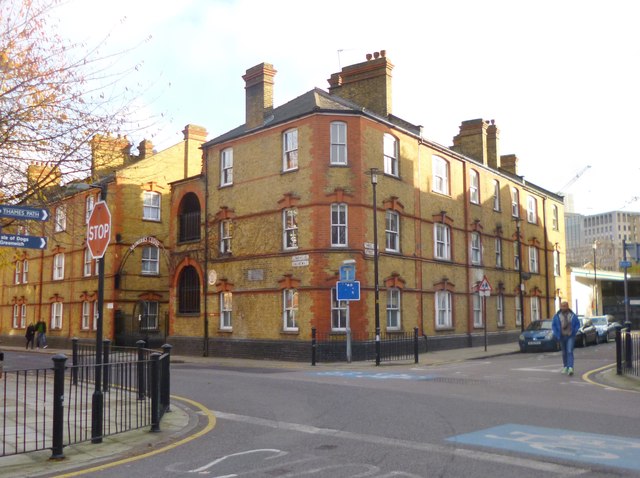
Image: © Mike Faherty Taken: 30 Nov 2013
At the corner of Limehouse Causeway and Three Colt Street; an early example of municipal housing, dated 1904. http://www.eastlondonforum.com/viewtopic.php?f=3&t=12366
Images are licensed for reuse under creativecommons.org/licenses/by-sa/2.0
Image Location
Latitude
51.50912
Longitude
-0.029718