Fields above Esgair-gefeiliau
Introduction
The photograph on this page of Fields above Esgair-gefeiliau by Richard Law as part of the Geograph project.
The Geograph project started in 2005 with the aim of publishing, organising and preserving representative images for every square kilometre of Great Britain, Ireland and the Isle of Man.

There are currently over 7.5m images from over 14,400 individuals and you can help contribute to the project by visiting https://www.geograph.org.uk
Fields above Esgair-gefeiliau
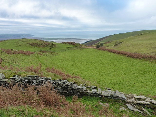
Image: © Richard Law Taken: 27 Nov 2013
The old slate wall defines one side of a former access track to a couple of farms down the valley.
Images are licensed for reuse under creativecommons.org/licenses/by-sa/2.0
Image Location
Latitude
52.558756
Longitude
-4.012026