Pasture land north of Brymbo
Introduction
The photograph on this page of Pasture land north of Brymbo by Maggie Cox as part of the Geograph project.
The Geograph project started in 2005 with the aim of publishing, organising and preserving representative images for every square kilometre of Great Britain, Ireland and the Isle of Man.

There are currently over 7.5m images from over 14,400 individuals and you can help contribute to the project by visiting https://www.geograph.org.uk
Pasture land north of Brymbo
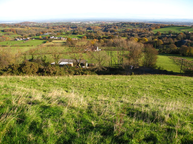
Image: © Maggie Cox Taken: 22 Nov 2013
A lovely view across this square from a footpath heading up to Mount Sion. Spread out below - from Gyfynys Farm on the left to St Mary's Church on the right. Beyond in the middle distance are factories at Llay and in the far distance is a view across the Cheshire Plain to The Sandstone Ridge.
Images are licensed for reuse under creativecommons.org/licenses/by-sa/2.0
Image Location
Latitude
53.082941
Longitude
-3.055606