Waterside, Blockley
Introduction
The photograph on this page of Waterside, Blockley by Chris Allen as part of the Geograph project.
The Geograph project started in 2005 with the aim of publishing, organising and preserving representative images for every square kilometre of Great Britain, Ireland and the Isle of Man.

There are currently over 7.5m images from over 14,400 individuals and you can help contribute to the project by visiting https://www.geograph.org.uk
Waterside, Blockley
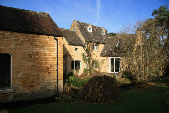
Image: © Chris Allen Taken: 30 Nov 2013
This property alongside Blockley Brook is called Waterside. Although I can't find any reference to it being a former water mill the blocked up opening in the wall on the left could well have housed a bearing for a wheel. I would welcome any further information on this.
Images are licensed for reuse under creativecommons.org/licenses/by-sa/2.0
Image Location
Latitude
52.007982
Longitude
-1.766418